I felt a tad ill this morning, so I "called in sick" (actually it was just an e-mail) - but by 11 or 12, I was feeling good. So why not just play hooky? It'd been a while anyway. The sun was out, and though it was about 38F outside I really wanted to ride! So I set out at 12 PM to see how far north I could get before it got dark. (Which is at about 4:30 PM these days!)
I rode the Ciocc for the first time in a while, it's still a great bike, of course. A lot stiffer than the Pacer it seems, although the "racy" position it puts me in isn't as comfortable as the Pacer's more upright setup.
Some Photos From The Ride
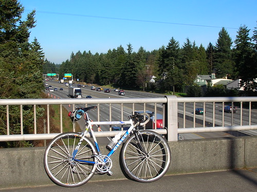
The Ciocc & I-5, just north of Seattle on 185th St:
 The first sign for the Interurban Trail, in Lynnwood (on 76th Ave):
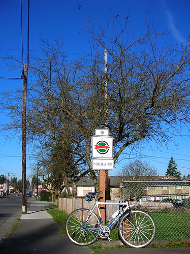 One downside to the Interurban trail up north is that it gets broken up almost ever mile it seems - and while there are mostly signs to point you in the right direction, some of the signs are in weird spots or faded beyond recognition. Maybe a DIY touch-up job is in order?
Start of Interurban trail:
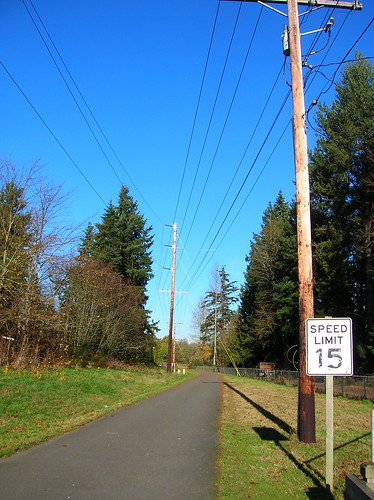
Nice part of the trail:
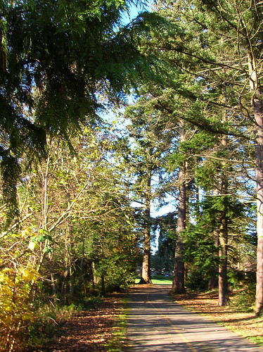
Tiny offroad section of the trail:
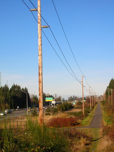
View of the Cascades & Everett (I think):
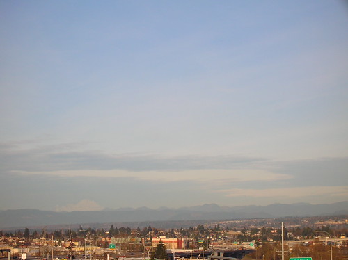
Now heading back to Seattle - due to a mix of navigation skills & dumb luck, I ended up exactly where I wanted to be! Highway 99 heading south:
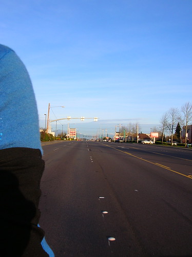
Heading on to Aurora-proper at sunset:
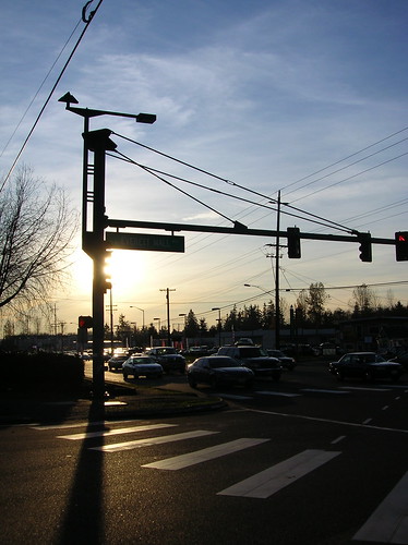
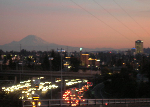
View of The Mountain from the U-District:
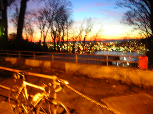
OK, this one is really blurry, but I like the colors. This is looking west off of Capitol Hill:
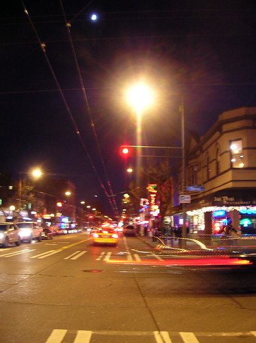
Now at home, on Broadway: (which has sharrows finally, by the way):
Interestingly, I've "only" ridden about 160 rides this year, and will probably finish with about 180 rides in total. (Average right now is 46 miles per ride). You can see the details on my rides log.
Start Time: 12:00 PM
End Time: 5:10 PM
Distance: roughly ~110km, based on this ride
In other news, I'm shooting for about 8,000 miles this year, which would be the most for me in a year so far (last year was 4-6k). Right now I'm at 12,091 km, or 7,513 miles for the year!
Interestingly, I've "only" ridden about 160 rides this year, and will probably finish with about 180 rides in total. (Average right now is 46 miles per ride). You can see the details on my rides log.


