Showing posts with label 200k. Show all posts

Saturday, March 21, 2009

SIR's 200k "Chili Feed" Brevet: 2009 Edition

Ride to ride:

Well Saturday was the Big Day after all this waiting. Unfortunatey I forgot/didn't have time to eat a Big Breakfast, so a bagel with cream cheese and some coffee would have to do it for now. Grabbed some bananas and ensure on the way out, and hit the road (on Capitol Hill) for the ride down to Kent at 5:15 AM or so. (I was happy to already be making better time than last year at this point).

When I was in Renton on Rainier Ave, a van pulled up along side me, slowing down. All I could think was, "at this hour, this should be interesting!" Turns out it was Dan Boxer and Andy Speier, offering a ride to Kent! I turned it down, not wanted to "give up" on the extra effort I'd already signed myself up for on this day.

But it got me thinking that maybe I wasn't making such great time after all, given that they were headed to the same ride I was, only they were about to be there much faster than I was. With about 10 miles to go, and 45 minutes or so to do it, I figured I still had time.

The ride down to Kent is pretty flat and uneventful. At least this year I knew to expect a nice size climb just before Greg's house (this was a surprise last year). I ended up averaging 19 mph over this stretch, probably burning too many "matches" with such a long day ahead of me. Note to self: next time, start earlier so you can softly pedal to the ride!

I usually think of riding to the ride mostly in terms of extra time, not extra (wasted) energy. I'm a pretty patient person, so an extra hour or two isn't a big deal. But if I end up pedaling that extra hour or two at a fast pace, it can turn into "wasted" energy. Oh well.

At The Ride Start

I made it to the start in Kent at 6:45, with time to spare! Robert et. al. were sure to take note that I was actually on time, for once. There was a huge sea of bikes & people, and a big line for getting our control cards. We sat around and chatted for a few minutes, everyone antsy to get started (I know I was).

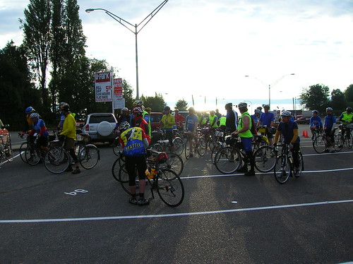
Riders waiting to start in Kent:
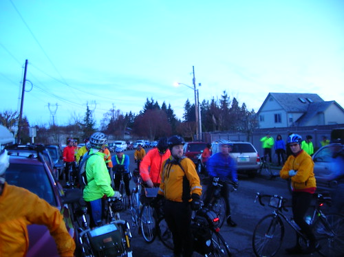

Kent to Dash Point: Soon enough it was time to go, and we all rolled out in a gigantic group of 100+ riders. On the downhill, Robert & I ended up with the front group (split up by stop lights), and stuck with them until just after the first control at Dash Point.


Our lead group for the first 40k or so: We knew it wasn't a tenable pace, but we held on just the same. It was fun to be out in front, but it was only a matter of time before we were to be let go.
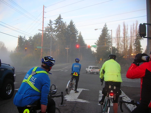

Dash Point to Black Diamond: When we hit the big climb up to Black Diamond, I ended up in a 5-7 mph pace, and was dropped by the group. Damn. I saw it coming, and had to make a decision. Should I fight to keep up? It's a good-size climb, after all. Or would red-lining to make it be too much, and kill the ride?


My body made the choice for me, and I eased off and watched the pack of 5-6 riders disappear into the fog. Oh well, maybe I'd see them later, maybe not.

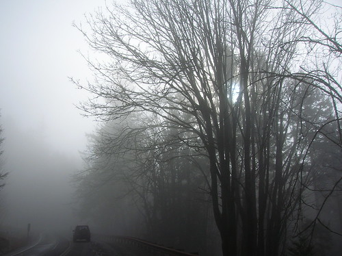
Foggy morning on the way up to Black Diamond:


Black Diamond to Greenwater: I rolled off alone from the bakery, after getting two donuts & some water. Thinking of catching up to Robert, but he must've been far off by that point.

Jan caught up to me and we rode together for a while. I asked him about his new Cycling Montagnards club (oh, how I minced the pronunciation!) - you join by doing a roughly 500km (300 mi) route, including a few passes, in less than 24 hours. Sounds like... a nice challenge! Might be something to shoot for in a lull between brevets or something. But for now, the goal was to finish this 200.

I hadn't quite bonked, but I was definitely riding slow. Too many calories burned, too few taken in.. The best I could do on flats was 25-28 km/h.. It seemed that Jan wasn't having the best day either, so we were a good match, at least for a little while.

Eventually he and a rider from Oregon Rando eventually passed me, as we first began the climb on Highway 410, near Enumclaw. Greenwater was about 16 miles up the road, but on the first sections of 7% or so, I was only doing 10 km/h, or 6 mph. Ugh.


A little while passing Mud Mountain Rd, I started seeing returning riders coming down the hill. These were the riders Robert & I had rolled with to Dash Point! But it was no surprise that they were about an hour ahead of me, I knew I coulnd't hang with them forever. I think Brian O. was the first rider I saw coming back - whoever it was, damn they're fast.


(On one of the training rides last month I ended up finishing the 44-miler with Brian, Thai, and a few other fast randos. Brian asked at one point if "they'd see me at the front of the pack this year?" Well, I think the answer to that is NO! At least not this time around..)

Highway 410 heading to Greenwater:


The climb up to Greenwater wasn't half as bad as I'd remembered from last year, and it seemed to go quickly.

Greenwater - It was about 1 PM. (three hours earlier than I got there on last year's edition of this ride). Oh man was I happy to get to Greenwater. I'd needed to go to the bathroom pretty much since the beginning of the climb, so that was a relief.

Up to this point, I'd kept the time spent at controls to at most 5 minutes, but this one was a bit longer. Ok, a lot longer. I think at least 30 minutes or so, and the reason for that was that I had that sick-stomach feeling, even to the point that my forehead felt cold & sweaty, and I felt like I could easily spew green water on Greenwater, but at least that didn't happen.

Chris & John were nice enough to wait for me to get going - they could tell I was in bad shape. At the end of the ride, more than one person said I looked rough at Greenwater. So much for my rando poker face..

But looking (and feeling) "rough" is a part of pushing yourself beyond the limits of what you normally should be doing. And that's certainly what this day was all about. Pushing it.

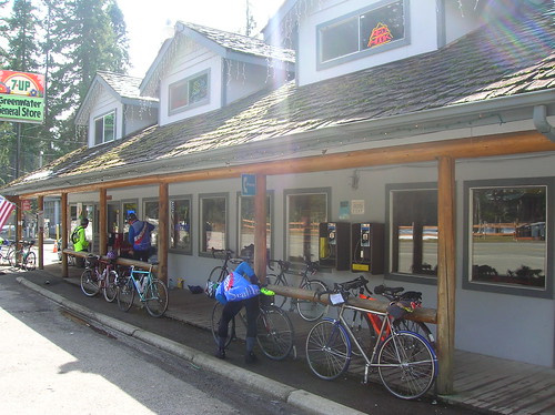
The Greenwater control:
Greenwater to Enumclaw - At least this part is mostly downhill, but I was still "coming to" in this section. Some fresh Sprite in my bottle was a needed shot of sugar and calories, but I still didn't feel 100%. Chris & John threatened to drop me on the downhill, but I eventually latched on to them.


We passed Greg, who was fixing a flat and eventually caught up to us. He rolled with us pretty much to the end, and was good compnay.


Circle-K in Enumclaw - I bought what I like to call a "mystery-meat" burrito thingy here, oh boy did that hit the spot. I hadn't really had any warm food all day, so this was much needed, even if it's horrible for your body, etc. Some green tea/honey drink (read: sugar-water) also hit the spot here, and I put most of it in the bottle.

Back to Kent - it was refreshing to know there were only twenty or so miles left at this point. Chris, John, and Greg rolled out from Circle-K, trying to catch a large group ahead of us. We came close to catching that group on the Whitney Hill Rd (?), a decently-big climb.


But right before that climb, a small miscommunication sent John into Chris' rear wheel, almost sending John to the pavement. But he kept himself upright, and after a short adjustment of his front skewer we were rolling again. Heading towards a one mile climb at 10% or so, but rolling nontheless.

The climb wasn't quite as bad as I remembered from last year, so that was nice. Not to say it was easy, but last year it felt soul-crushing. This year it was more like "this is going to burn all that extra energy, but not kill you."


A tiny bit of rain - the first of the day - started coming down as we neared the Cox residence. But none of us cared enough to put on more clothes, it was time to finish! I was happy to do a sub-10 hour 200k for once as well.


The Chili Feed At The Finish

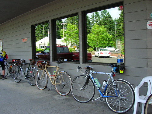
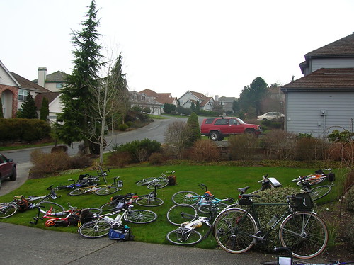
Tired bikes at the finish:


Feeding randos:
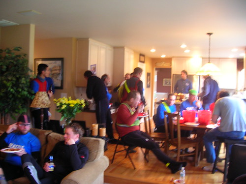

The food at the end was great, huge thanks to the Cox family for organizing all this! And thanks to the volunteers along the route as well. See you all on the 300!


Ride Stats

Riders total: 118
DNFs: 5
Total gain: ~6,200 feet (WKO+ calcs ~9,000 ft)
Fastest finish: 7 hours, 35 mins
Slowest finish: 12:44 (I was one minute slower than that last year!)
Averge time: 9:53
My time: 9:40 (fastest 200 so far, woot!)
Results: here


Also here is the graph from WKO of my ride. The red line is Heart Rate, blue line is speed. See how the red line is really high for the first 2-3 hours of the ride? That was me not pacing! For the next brevet I'd like to see the HR graph stay level, we'll see.

More photos here & here. And Robert's blog post here.
Sunday, February 22, 2009

Unofficial 200k - Seattle To North Bend Loop

The forecast called for a great day, and it was right - 50-something degrees, and light wind in Seattle. Oh, and the forecast for North Bend said 20 mph winds from the SSE - man was that ever correct..

I left the house at 7:30-ish, headed for Marymoor park where this week's training ride started.

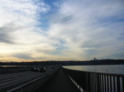
The view east over I-90 and Mercer Island couldn't have been better - I was headed somewhere towards those mountains in the background:


It took a little longer to get up to Marymoor (via W Lake Sammamish), and I got there at about 9:10 - the ride started at 9:00! Oops, my plan of getting a cuesheet at the start was out the window too. Luckily I knew the first parts of the route, and had seen the map. Just needed to get to Novelty Hill road, and I at least knew the general direction to it.


And soon after I started out I saw the group of brightly-colored jackets - lots of them, like 50 or so, telling me these must be the group I'm looking for. I rode through a wooded area, partially unpaved, to get onto the road they were on. I kept my eye on a few stragglers who were also catching up, and just followed their turns.


And by the time we actually got to the Novelty Hill climb, I saw a snaking paceline of at least 50 riders!


And this is when I made a mistake in the ride - I took off towards the front, passing many other riders. Briefly saw John & a friend of his, and dropped them (temporarily) by accident. For every group I would catch up to, there seemed to be another group about 100m up the road.


After passing what seemed to be most of the ride, I reached the limit of how far "forward" I could get. It looked like the head group in front of us, so I broke off and tried to bridge the gap, only to leave myself in "no man's land" - not fast enough to drop the group I was trying to drop, and not fast enough to actually catch up to the group ahead of me. Battling the wind alone. Not a good tactic on what will be a 100+ mile day.


So after the group behind me swallowed me up again, I settled in with them (at a 22mph pace) and we cruised towards Carnation. After about an hour of this, I had burned one too many "matches", and had to drop out of the paceline. A drop from 22 mph to 18 was just what I needed. I knew I had to pace it, since it was gonna be a decently-long day.


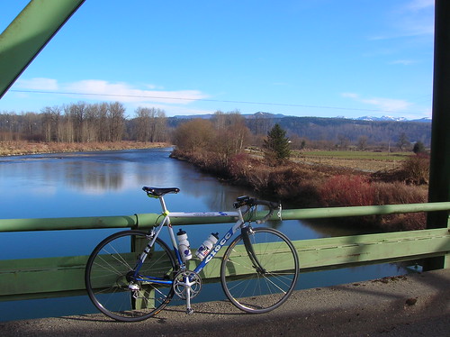
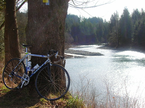
After dropping from the paceline, I was left alone to enjoy the scenery, and take some pictures, like this one of the Ciocc & what I believe is the Snoqualmie River:


Soon after, a group of riders showed up behind me:


After riding with that group into Carnation, I stopped to get more water and some fuel. I'd brought an Ensure, a banana, and a cookie, but I knew it wasn't enough for the whole day. Was hoping for some fresh doughnuts, but alas all they had were crappy pastries. But those did just fine.


At this point I saw John (along with many others) pass me, and I soon got back on the bike to catch up to someone. It ended up taking a few hours to catch up to anyone, and it was really bad timing for that too: the predicted headwinds in North Bend actually started just south of Carnation. And I was riding right into it.


Not afraid to take a break now and then, I stopped on Fish Hatchery Road for another shot of the great scenery around here:


After the climb up to Snoqualmie Falls, I just kept on pedaling as I passed the gift shop with its water and ice-cream. In an effort to save time, I skipped it - and I had plenty of water anyway.


Since I still didn't have a cuesheet, I was mostly patching the ride together from previous expeditions and a loose memorization of the route. After a turn, and a climb, up Tokul Road, I was presented with a great little road, Reinert(?):


Soon after that I was presented with the foothills we'd been heading towards all day. I used to think it would take a camping trip to bike out this far!


Mount Si: The River:


The headwinds were still grueling at this point, about 60 miles into the ride. I eventually latched on to a small group, and we pacelined/slogged (at 15 mph) through "downtown" North Bend, into the winds.


At the turnaround point in the Tanner area, I stopped for a short break and met up with John again. Robert was supposed to show up on the ride, but we never saw him. There was some residual snow out there, just like last year:


After turning around, we were all looking forward to getting on the open road and enjoying the tailwind we'd been thinking about for the last few hours. And indeed, it was nice! After we passed that hotel we started one of last year's 400ks at, I was cruising at a good 27-30 mph pace! After I took this picture I realized I'd ridden away from the paceline:


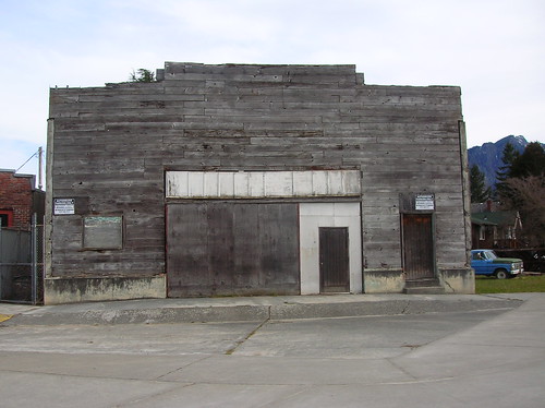
An old structure somewhere on the outskirts of North Bend:


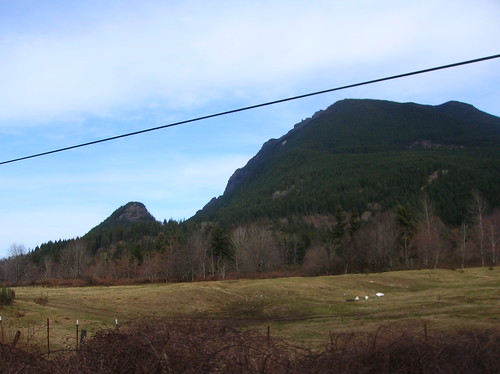
Foothills:


Issaquah-Fall City Road, I think:


After getting up Issaquah-Fall City road, I was alone and wondering exactly what the route was back to Marymoor. I knew to take a right, and that I needed to get onto E Lake Sammamish Blvd, but I wasn't sure how. I kept looking for Duthie Hill Road but I think I was on it.. After riding a few miles and hitting that big downhill near 202, I turned around and headed back. Saw some riders turning down this one non-descript road, good thing I saw them! It was quite the adventure running around sans-cuesheet.


After that turn my adventures off-route weren't over, as I ended up on 266th (or something), a slightly-hellish road with big hills and even bigger SUVs. I plowed over the hills, knowing Inglewood Drive wasn't too far away, and that it would take me to where I wanted to go.


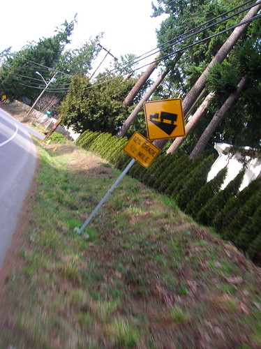
The 12% grade sign on Inglewood: After a screaming descent on Inglewood, I hit E. Lake Sammamish and sped off towards Marymoor. Well, not sped off, since I was really tired at this point. Not "done", but tired.


After about 6 hours of riding and 100 miles covered, I was back in Marymoor. A few minutes of chatting and then I was off for the ride home. I took 40th Ave NE (uphill) towards the MS campus, and then hit Bel-Red road to get to Bellevue. Stopped at Wendy's for some grub, it was time for real food!

Sunset on the way back:


You can see Rainier from Yesler?! Apparently:


Ciocc back in the city, on Yesler:


Cityscape:


More photos on flickr. Ride stats for the day:

Entire workout (161 watts):
Duration: 7:31:09 (9:03:59)
Work: 4501 kJ
TSS: 355.1 (intensity factor 0.687)
Norm Power: 199
VI: 1.2
Pw:HR: 14.85%
Pa:HR: -0.64%
Distance: 127.067 mi
Elevation Gain: 11859 ft
Elevation Loss: 11885 ft
Grade: -0.0 % (-27 ft)
Min Max Avg
Power: 0 866 166 watts
Heart Rate: 92 185 149 bpm
Cadence: 15 147 72 rpm
Speed: 0 54.4 16.1 mph
Altitude: 16 834 277 ft
Crank Torque: 0 1752 196 lb-in

From looking at the workout in WKO, the graphs tell the story of falling energy (and therefore power) levels. Splitting the entire ride up into two parts, you can see hte difference between them - this half's Normalized Power is 214 watts.

1st half:
Duration: 4:16:08 (4:29:36)
Work: 2826 kJ
TSS: 232.3 (intensity factor 0.738)
Norm Power: 214
VI: 1.16
Pw:HR: 15.88%
Pa:HR: 5.47%
Distance: 69.852 mi
Elevation Gain: 6691 ft
Elevation Loss: 6394 ft
Grade: 0.1 % (297 ft)


Min Max Avg
Power: 0 866 184 watts
Heart Rate: 94 185 155 bpm
Cadence: 15 120 75 rpm
Speed: 0 54.8 16.5 mph
Pace 1:06 0:00 3:38 min/mi
Altitude: -24 663 221 ft
Crank Torque: 0 1747 210 lb-in


And here's the 2nd half of the ride - Normalized Power is 173 watts.

2nd half:
Duration: 3:13:30 (4:32:52)
Work: 1659 kJ
TSS: 114.9 (intensity factor 0.597)
Norm Power: 173
VI: 1.21
Pw:HR: -7.79%
Pa:HR: 8.87%
Distance: 56.918 mi
Elevation Gain: 5116 ft
Elevation Loss: 5472 ft
Grade: -0.1 % (-355 ft)
Min Max Avg
Power: 0 799 143 watts
Heart Rate: 98 168 141 bpm
Cadence: 15 147 67 rpm
Speed: 0 90.4 15.6 mph
Pace 0:40 0:00 3:50 min/mi
Altitude: 8 834 350 ft
Crank Torque: 0 1752 179 lb-in

Here's a graph of the ride from WKO+:


  • red = heart rate

  • yellow = power

  • orange = elevation

  • I also added some estimated markers

While I already know the story of the ride, the data here tells the details. You can see the downward slope of the red & yellow lines - meaning at some point I hit a wall and had to back off. That's normal for a longer ride, the question is when does it happen, and how hard do you have to push it to get there?

Sunday, November 9, 2008

Seattle-North Bend 200k Permanent - On A Rainy Fall Day

This morning Robert, Chris, and I took off from the Lechi Starbucks at 8 AM, setting off for a 200k permanent that would take us on a circuitous route through Redmond, Carnation, Fall City, North Bend, Newcastle, Maple Valley, Renton, and then back to Seattle. It was another great ride, and it was awesome to ride with a small group, almost Audax-style.


Passing through so many close-together places meant that I really didn't need two water bottles, but I brought two out of habit. Or maybe I bought water at every controle out of habit, even if I had one full bottle. Having been tested with stretches of 80 km of no services, this cyclist is wary of running out of water altogether.

Terrain

The Leschi-North Bend-Lechi permanent was relatively hilly, sort of like doing the Lake Washington Loop 2.5 times. But maybe a little hillier.. an interesting variation of this route could include Cougar & Tiger Mountains, although the thought of that right now sounds very tiring.

The amount of climbing we did was 5k feet or so. The climbs included Novelty Hill Road (the descent on the other side was scary, since it was wet!), Snoqualmie Falls climb, Tokul Road (near Snoqualmie Falls), Issquah-Fall City Road, Newport Way - after that I don't remember any big climbs. Surely I'm forgetting some though, especially the short ones with no names.

The max elevation of the route was in the 600-foot range, so it's not like we were doing passes or anything - but round here it's hard to go very far without going up or down. And for some reason I was in the big ring most of the time today, even on some of the climbs. 

Rain & Gear

At first the rain was light, but it eventually turned more medium than light or misty. My feet started to feel a bit wet - I should have used the plastic-bag trick on the feet.. but my new Ibex light wool jersey held out nicely to the 47-52F temps we saw today. And eventually the feet dried out.

Luckily I brought two pairs of gloves, since one of them was soaked by the first 50 miles or so. But my wool knickers were perfect, and never felt wet - even with no rain pants on!

The Sealskinz gloves worked well, even in the cold, and my wool cap kept my ears from getting too cold. It's not super-cold yet, but 10+ hours of exposure can sometimes leave you colder than usual.

Ride Pictures

Starting the ride on Lake Wa Blvd, heading north towards the U-district:


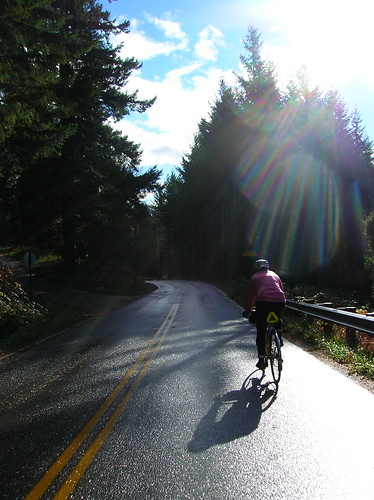
Even though it was raining, the scenery was still great:


100th Ave near Carnation - totally covered in water! We had to ride down to Ames Lake Road(?) to get around it:


Chris shining in the sun:


Really cool road near North Bend:


Awesome view heading into North Bend:


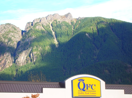
The North Bend QFC, and what I can only assume is Mt Si in the background:


The view on Railroad Ave:


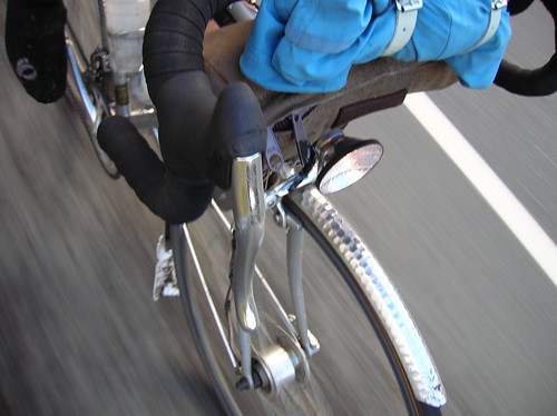
Trying out a new setup - jacket strapped to bars, above handlebar bag. Less weight in the rear makes climbing easier, it seems:

Sunset over Lake Sammamish - at 4:30 PM! Damn fall..


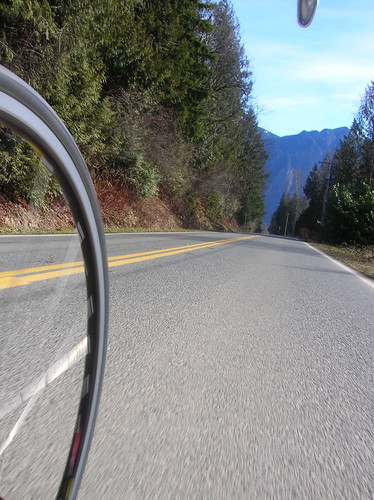
I love the motion conveyed in this shot - this was on Coal Creek Parkway, I think:


the finish at a restaurant in Leschi:

More photos on flickr.

Much thanks to Robert & Chris for inviting me on one of many installments in their R-12 quest. While the brevet season is over, the riding season isn't! As the saying goes, "there's no such thing as bad weather - just bad gear."

And thanks to Narayan & Geoff for handling the paperwork for these crazy rides! Now that I know the drill for riding permanents, I can see quite a few in my future.

Sunday, August 17, 2008

RUSA 10th Anniversary 200k Brevet: Sometimes DNF Stands For "Don't Neglect Friends"

Yesterday I set out to do Seattle Rando's 200k brevet, part of a series of brevets going on around the nation, in celebration of Randonneur USA's 10th Anniversary. About 50 Riders showed up for the ride to Bremerton via the ferry, a good showing for this soon-to-be-hot day.

As per my usual, I left home later than I wanted to, and barely made the ferry! When I got there at first, there was a double-line of autos!! And here I was at the back, patiently waiting:


Lucky for me the cashier waved me ahead of a bunch of cars, and I was the last person/car/anything to board the ferry! It wasn't the first time I'd been almost-late to catch a ferry.. hopefully the last though.

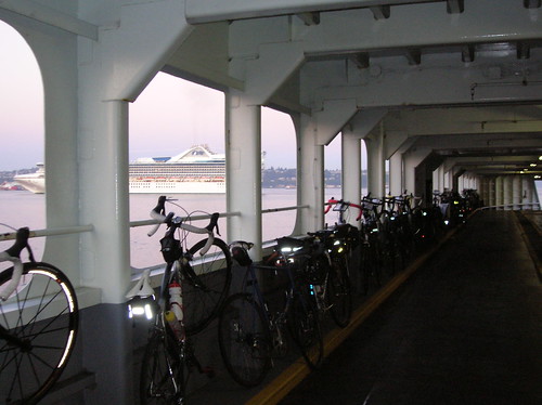
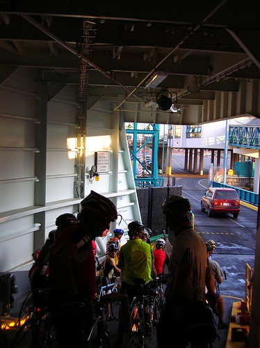
Rando bikes on the ferry:

Riders preparing to leave the ferry in Bremerton:

After some starting notes from organizer Eric, we were off! The beginning reminded me just a tad of Critical Mass - but instead of lots of fixed gears, these were mosty rando bikes, and there was no traffic to get in our way:

We got off to a good start, and held a nice pace. Robert on his fixed gear was looking strong. My buddy Dennis and his friend John came along, always nice to have more randos!

John and other riders on the way to the first control:

Dennis has always been a strong rider, and has a way of doing big rides with little-to-no-training - so neither of us thought it was a big deal that he hadn't ridden a lot before this 200k. We'd just planned to take it easy. And normally things might have just been a bit slower than usual; but with the 90F heat surrounding us, things went south pretty quick. But first...

Free Mozarella Sticks!

In Belfair, we stopped at a gas station for fuel/water. I like - scratch that, I love - fried foods, so I rarely shy away from the mysterious fried items on display at country gas stations. I ordered up some mozarella sticks, and when I went to pay for them she said, "You can have these for free, since they don't keep for very long."

What?! Well not to look the gift-horse in the mouth, I accepted my "gift" of who-knows-how-old cheese sticks without any question. They were fine. Surely not fresh, but they didn't taste bad anyway.


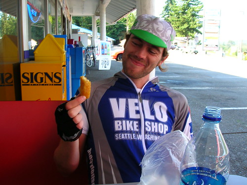
Free food never tasted so good:
The Ride Goes South

Technically we were headed north, but the ride was about to go south, in a bad way. The bad started when we took a wrong turn... a Big Wrong Turn that gave us ~20 bonus kilometers! The cue said the turn was easy to miss, and that the road was unmarked. Cryptic instructions went like: "Turn left after the Subway, but before the 76, towards QFC." All of which made sense when we took the turn... and the road was unmarked, so we just pushed along and hoped for the best. All of the roads out here look the same to me anyway, so I had no idea we were going the wrong way!

Our next turn was to be to the left, but on our left was nothing but water.. And soon the street name we were on became "North Shore Drive." Hmm. So we asked for directions, and sure enough they said, "About six miles back that way." Ouch!

Dennis was already suffering a bit, and while none of us were happy to have taken a detour, he certainly wasn't excited to turn around. Speeds slowed, and John & Robert were nice enough to wait for us back at the US 3/Old Belfair Highway junction.

After getting back to the junction, we saw the correct road, and finally took it. We knew what was coming next, thanks to our cues: Bear Creek-Dewatto Road, 8% grade for 1/2 mile! Finally the turn came, and the 8% grade was presented before us.

Dennis spotted a creek so we stopped and got our hats wet. My trusty bandanna, which can serve so many purposes, was dunked and felt great wrapped around my neck. We were running low on water, but the next control was only 10 or so miles away. No problem.

We had plenty of time to make it (at least an hour), or so I thought. But after we started going uphill, Dennis was really having a tough time at it. I waited for a few minutes at the top, and eventually he came around the bend. We rested in the shade for a bit, then set off again.

From Bad To Worse

After climbing this hill, which was longer than 1/2 mile (but not 8% the whole way), Dennis said at this point he started swerving, and just didn't feel "right." So we took another break, and he laid down on some rocks/bushes/whatever - not the most comfortable, but he really needed to rest! After 10 minutes he felt better, so we set off again.

But the hill just kept on going up, and it was really hot by this point (it was about 2 PM and 90F degrees). Dennis was feeling ill again, so we stopped and he needed more rest & shade. I could tell he was really not feeling well, and didn't want to push him to leave, but at this point we were really cutting it close to missing the cut-off time at the next control.

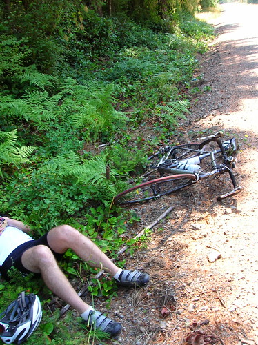
Dennis recovering in the shade:


The next control, only about five miles away at this point, closed at 2:55 PM. At about 2:30 he was still recovering/resting on the ground, and I figured we needed to get him to the control before too long. Riding there wasn't really an option for him, so I flagged down the first pickup I saw. I don't think I've ever stuck my thumb out for a ride before this!

The guy in the pickup couldn't have been nicer; he practically slammed on his brakes, skidded into the gravel shoulder, backed up, and offered his assistance. Who'd have thought an angel could be scruffy, shirtless, and bearded? Turns out the guy worked at the gas station we were headed for, so he knew where to go.

With Dennis in the truck and on the way to food/water/shade/recovery, I set off with about 10 minutes to go spare to make it. The guy in the truck made it sound like it was "just at the bottom of the hill," which it was I suppose - but the headwinds came out of nowhere, and the time kept ticking while the road kept going.

Eventually I hit the T-intersection, and took my left for the control. But it was 3 PM! Control-time missed by ~10 minutes, brevet over. I got my card signed anyway, with brief thoughts of finishing with a DNQ (Did Not Qualify), which seems only marginally better than a DNF.

The Control Back To Bremerton

Dennis was resting in the shade, looking a bit beat up, but still alive! On the way there I had images of bad movies flashing through my head, thinking, "Do I even know what the truck looked like?!" "What if they guy just steals Dennis?" Luckily the guy was totally legit, my worries were for not. He was indeed a scruffy angel.

I called Eric (the organizer) to let him know what had happened, and that we were abandoning the ride. His directions to the ferry were the exact opposite of an older gent we'd asked earlier (they older guy said take a bunch of lefts, Eric said take a bunch of rights). So we triple-checked and asked the clerk inside, and indeed Eric was correct.

After an hour or so of enjoying the shade, food, and water, we set off for Bremerton. The roads were pretty tame, and we made it just in time for the 5:30 ferry. Dennis had recovered and was fine at this point - funny how the body can do that, recover from the brink of disaster! It takes a strong human, both physicall and metally, to be able to recover like that.

In the end, it was a great ride, and I got to see some familiar faces: Narayan, Joe P, Mark T. Mark got a kick out of my tiny Carrdice saddlebag. Even met a blog reader, Jack I think was his name.

I ended up with about 170km for the day, just over 100 miles. Which was plenty for me on this hot, hellish day. While the ride had its ups and downs, overall it was fun! Big thanks to the organizers and volunteers; the controls were great! Although I don't think I'll be writing any poetry any time soon..

Anyway a few more photos from the ride can be found on flickr. Thanks for reading!

Saturday, July 26, 2008

Tahyua Hills 200k Brevet 2008: Up. Down. Up. Up. Down. Repeat.

After getting a DNQ result in my last 200k, I was dead-set on finishing this one with credit. No speed/time goal in mind, besides doing the ride at something above the randonneurs' minimum of ~9 mph, or 15 km/h.


This route is known for its inclines, and in a similar fashion to the Olympic Peninsula, and the Puget Sound islands (Vashon, Bainbridge, etc) lots of hills is what you get. Not huge, maybe 400 feet at most, but some were quite steep. And as you can see from the elevation profile, there were lots of them!

You can find the map of the route here: [map]

Check out the elevation profile of the route here: [elevation/map]

I heard quotes of 8-9 thousand feet of climbing for this 209km/130 mile brevet. A good warmup for the RAMROD (coming up on Thursday)!

The Ride to the Ride

I made it there with time to spare, as the Ciocc is pretty good at carrying me at ~36-40 km/h (23-25 mph) on the flats, but on the hills it's mostly up to me, and going up Delridge on the way to the ferry dock at 5:30 AM, I took it easy.

The sun was still rising, the air cool. But my wool jersey, and the effort, was plenty to keep me warm.

On the right you can see what Seattle looked like (well, minus the slight blur) from under the Viaduct.


Riders queueing up for the ferry to Southworth:
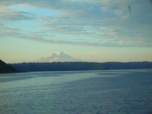
From the ferry, you could see Mt. Rainier:

Southworth to 1st Control

Riders getting ready to roll:

After the pack rolled out at 7:00 AM sharp, the usual filtering of the riders took place. The first 10-20 km were true rolling hills (you could keep your speed over the top of most of them), and Chris, Joby, Robert, and I stayed together, but after a while Joby & I ended up riding with two other riders, at the front of the pack.

I really wasn't planning on trying to do this brevet fast, but the itch was there and I scratched it! My speedometer wasn't working, but I'd guess we cruised at about 40 km/h for a while, the three of us trailing behind a really fast guy on a Litespeed.

But I knew I couldn't hold this pace forever, and planned on taking it easy after the first control. We made it to the gas station at about 8:20 AM or so, 40 km into the ride. The really fast guy spent about four minutes there, and then rolled out. I bet he finished first!

At the first control:

Joby & I bought some water, snacks, etc, and shortly Chris rolled up, followed by Robert. We rolled out together, probably 20-25 minutes after arriving. Probably too long to spend at the first control in a ride, but for this one I wanted to stick with the trio.

To The Next Control

Light rain started coming down, and after a quick stop to put on rain jackets, I was donning my brand-new Rapha "softshell" jacket - glad to put this thing to use, considering I spent lots of dough on it! It worked perfectly, and fits way better than my old jacket; this one doesn't flap in the wind, which I always hated about the old one.

After about 10 minutes of rain, it stopped as quickly as it started. Luckily the jacket is breathable enough that I didn't need to take it off! Another advantage over my old Shower's Pass jacket.

During the next stretch we ended up pacing behind a fast tandem, and tacked on to their paceline. Again I have no idea of our speed, but it was definitely a decent one! None of the climbs were too bad at this point, and after a while the paceline seemed to slow down, so I broke out of it and went up the road.

I knew we were close to the next control so it wouldn't be long before the paceline would catch up eventually. Rode alone for the next few kilometers, and made it to the next control at Kay's(?) Corner, a gravel patch overtaken with a tent, volunteers, and lots of bikes!

The famous SiR support was there, making sandwiches, offering water, mechanical service, the works! Thanks a mil' to everyone who helped out with the ride. Shortly after I got there the tandem's paceline showed up, perfect. Back with the trio.

I spent another 20-25 minutes here at least, eating chips, the falafel wrap I'd brought, chatting, and downing liquids. The word was that the next section was where the hills really were. As Mr. Burns from The Simpsons says, "Excellent."

The Real Hills Begin

500 meters or so after the control, we started going up. And up. And up. And down. Then back up. We caught up to a bunch of riders that had left the control before us, many of them we'd see throughout tbe day.

The roads in this section (Kitsap Nat'l Forest?) were great! Pretty narrow, no center line, but no traffic either. Surrounded by trees, trees, trees. We saw a small deer too!

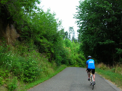
A pic of Chris rolling through said tiny road:

We started pacelining again, I think with the same tandem from before. Somewhere along this section I went off again on my own, passing lots of people. It wasn't that I didn't like riding with everyone I was with, it was that my legs said, "we've got the energy, lets see how far you can go fast(er) for?" OK, let's do it.

So I rode alone for a few kilometers, then one guy that I'd passed caught up and passed me on a climb. It was so easy to "give up" on some of these climbs, and switch down to 39x25 (my lowest gear) and soft-pedal up the incline. I passed him on a big downhill somewhere along the way, and after the right on to Seabeck-Holly(?) Road, more big climbing started. In fact I think we went uphill for about six kilometers or so, but without a cyclocomputer it was hard to be sure. It started steep, and got less so as it went on. But it went on for a while!

Rode alone for the remainder of this portion until the next control.

The Dog

Near the top of the hill, or what seemed like it was about to the be the top, a medium-sized brown dog came sprinting at me, dragging a red leash (rope?) behind it. I guess all the cyclists passing by was too much for it to resist! It came at me from the left, and I was too stunned to do anything but keep on pedaling, hoping that my pace was great than its. It really wanted a piece of my calf, I could just tell.

But in the end I just rode away from it, I'm really glad the scare worked out for me. I heard later that it didn't work out for someone else, and they had their ankle nipped, but nothing too serious.

Seabeck

I was expecting at least an intersection, a stoplight, something to denote a "town" called Seabeck, the next control. But I think Seabeck is really a codename for about four shops (general, massage, pizza, gifts, espresso) that line the waterfront. About 10 riders were already here, enjoying water, ice cream, chips, the good stuff (there was probably someone hiding in the portapotty, snorting some kind of secret Hammer powder, shunning any solid food).

I bought peanuts, Lay's chips, water, and an "Arizona" Green Tea, those drinks are so good. For this ride I'd decided to stay away from sugary things like I used to eat on rides, like Snickers/Payday bars, Cokes, etc. Trying to focus on salty things, at least when it comes to food. And I can say that it worked! No upset stomach, the first time in a while on a long ride.

Before too long Chris showed up, and Joby & Robert weren't too far behind. We sat at a picnic table outside the store and enjoyed being off the bikes, stuffing our faces with something or other.

I spent at least 40 (yes 40!) minutes here, but at this point we had plenty of time in the bank, as 13.5 hours are given to riders to complete this 200k. So there was no rush, no pressure, just a nice day for a great ride with some hardcore cyclists.

Anderson Hill Road, and More Hills

The scenic lead-up to Anderson Hill:

The next big ascent was apparently Anderson Hill Road, which everyone said was the worst climb of them all. We rolled over some scenic roads (above) and finally made the left turn that brought us to our next big one.

This hill felt like 7-10% grade, and went for a km or two. The worst part was the sun beating down on you, with no wind or breeze to cool the skin. That and the fact that my 39x25 wasn't really an easy gear on this hill!

We finally got to the top and stopped for a mini-break on the side of the road. Somewhere along this portion Robert fell behind the three of us, and we never actually saw him again. This section featured some decently long climbs, but nothing steep. We passed a "high-powered rifle" shooting range, which sounded, of course, really loud with each gun clap. I pictured the occupant in the house across the street cringing with each shot, but hopefully they're OK with it! I was glad to be gone from there.

This road seemed to go on forever and ever, and went slightly up as well. Somewhere along the way I swear I saw a motorcyclist shake his head in disgust at me/us, and this was probably the case given what happened to Chris about 30 minutes later: At the intersection just before the next control, we were stopped waiting for the green light. About 30 motorcycles were taking a right, passing us going the other way. Apparently one of them looked Chris in the eye, and then spit a sunflower seed at him! That's a new one.

Brevet riders at the last control before the finish - after this, "just" ~30 miles to go!

After surviving some stretches as long as 10km on Highway 3, and a little bit on Highway 16, and even doing a "victory lap" at the roundabout because we missed the correct turn, we finally made it to much nicer roads. Meaning, they were two lanes with less than 10 cars/second passing you by.

I was definitely tired by this point of the ride, but not done. Although close. Had this been more than a 200k I would have taken a long break, but we trudged on.

Climbing "One Mile Hill" I believe - this was taken over the shoulder, while moving:

On the approach to the ferry - now those are rolling hills! Looks even cooler in real life:

I'm cutting out a lot of the rest of the ride, and possibly other tidbits worth mentioning, for the sake of brevity. For instance we passed through Silverdale during their "Whaling Days" festival, which meant parking on the shoulder, and lots of pedestrians crossing the road. And lots of bass coming out of cars/trucks for some reason. But maybe that's always the case out there?

At 5:30 PM or so we rolled into the finish, happy to be done! We and had to wait for about an hour and a half for the next ferry - but luckily the corner store had decent sandwiches (fresh as of two days ago), and soda w/ ice - mmm.

We told war stories from the road, and pondered what happened to Robert. Hope you made it! Sorry we didn't wait for you, I kind of feel bad about that...

Ride Stats
Distance: 209 km + 23 km commute to the ferry = 232 km or 144 miles.
Ride start time: 5 AM
200k time: 7 AM to 5:30 PM or 10.5 hours (for reference the fastest was probably closer to 7 hours!)

Official times will be posted here. A few more photos here.