The last few weeks of racing have been fun, and good training too.
Two Sequims (both had crashes - and they say Mason is dangerous?!), neither race went all that well for me though I stayed upright. Then there was Indy Valley, which I at least made it through with the pack, unlike last year..
But finally a crit came along, in March! Some grumbled it was too early for one, but it sounded great to me! And this was a new one on the calendar, out east in North Bend right up against the Cascades.
A flat four-corner deal, sounds a lot like Ballard! Seemed a little shorter than that, but still great training for one of my favorite races. The pavement was mostly smooth, with just enough broken-up pavement on the backside to make it interesting.
Our Cat 3 field was doing only 40 minutes, and a small field. No rain either. Perfect! I had three teammates in the race, ready to throw down.
The Race
I was on the second row at the start, and of course got stuck behind someone who couldn't clip in, and had to go around while not running in to anyone else - ahhh, crits!! The we all jammed together for the first turn, with brakes screeching and people grumbling, oh crits. I guess people need to get the cobwebs out anyway, better now than at Volunteer Park coming up!
It was great to see teammates on the front, and going off the front too. I tried to stay up in the pack to avoid any crashes in the middle/back, and the accordion effect too. Overall it was a pretty clean race, though I did see a UW guy in the grass out of corner one, not sure what happened there.
Off The Front
With about 15 minutes to go there was one guy off the front and another dude jumped out of the pack to bridge, so I grabbed his wheel to bridge too. Before too long we made it up to the guy, and I was off the front! Breaks are hard..
Usually in crits I try to sit in the pack, or chase on the front/speed things up when necessary. After all if it comes down to a field sprint, it really helps to rest (coast) as much as possible, so I usually can't do both.
We stayed off for a few laps, but I eventually ran out of gas and decided to just sit on. Of course my break-mates weren't happy with that, but what can ya do. Then I started to think that a field sprint suited me better anyway, so demoralizing the break might actually work out, or so I thought.
The End
We eventually got caught by the field and before I knew it there were 5 laps to go, with everyone together, sweet. Time to get set up for the sprint! My team came up front and we started trying to speed things up, keep it safer and make it harder to move up.
But we started the leadout too early and couldn't hold it for 5 laps, so on the last lap someone else was on the front, damn. This is what training is all about - dialing in the experience so you can get it right next time.
The last lap came and my legs felt good, but I wasn't as far up as I wanted to be. Maybe 8th wheel or so, pretty happy with how things are going, but not in a great spot. I started to jump on the backstretch before the 3rd turn, but then for some reason I sat and coasted (actually my legs probably gave out!) and some guy jumped around everyone on the inside of the corner. Ah, crits. Love it.
Some yelling and two corners later and we're coming down the home stretch, and I have to pass Mr. I-like-to-jam-on-the-inside guy on his right, having to go around his wheel with not much space. Overtook a few guys in the final 100m, making ground slowly on 3rd place, but couldn't do it in time. 4th, I guess I'll take it for the first crit of the season!
As usual, better positioning at the end would have made the different in the result, but that's what practice is for.
Seward Park is starting up next Thursday, and then Volunteer Park on Saturday. Can't wait!
Monday, March 26, 2012
North Bend Crit 2012

Sunday, February 22, 2009
Unofficial 200k - Seattle To North Bend Loop
The forecast called for a great day, and it was right - 50-something degrees, and light wind in Seattle. Oh, and the forecast for North Bend said 20 mph winds from the SSE - man was that ever correct..
I left the house at 7:30-ish, headed for Marymoor park where this week's training ride started.
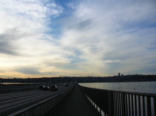
The view east over I-90 and Mercer Island couldn't have been better - I was headed somewhere towards those mountains in the background:
It took a little longer to get up to Marymoor (via W Lake Sammamish), and I got there at about 9:10 - the ride started at 9:00! Oops, my plan of getting a cuesheet at the start was out the window too. Luckily I knew the first parts of the route, and had seen the map. Just needed to get to Novelty Hill road, and I at least knew the general direction to it.
And soon after I started out I saw the group of brightly-colored jackets - lots of them, like 50 or so, telling me these must be the group I'm looking for. I rode through a wooded area, partially unpaved, to get onto the road they were on. I kept my eye on a few stragglers who were also catching up, and just followed their turns.
And by the time we actually got to the Novelty Hill climb, I saw a snaking paceline of at least 50 riders! 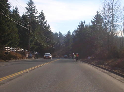
And this is when I made a mistake in the ride - I took off towards the front, passing many other riders. Briefly saw John & a friend of his, and dropped them (temporarily) by accident. For every group I would catch up to, there seemed to be another group about 100m up the road.
After passing what seemed to be most of the ride, I reached the limit of how far "forward" I could get. It looked like the head group in front of us, so I broke off and tried to bridge the gap, only to leave myself in "no man's land" - not fast enough to drop the group I was trying to drop, and not fast enough to actually catch up to the group ahead of me. Battling the wind alone. Not a good tactic on what will be a 100+ mile day.
So after the group behind me swallowed me up again, I settled in with them (at a 22mph pace) and we cruised towards Carnation. After about an hour of this, I had burned one too many "matches", and had to drop out of the paceline. A drop from 22 mph to 18 was just what I needed. I knew I had to pace it, since it was gonna be a decently-long day.
After dropping from the paceline, I was left alone to enjoy the scenery, and take some pictures, like this one of the Ciocc & what I believe is the Snoqualmie River: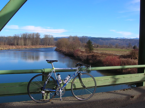
Soon after, a group of riders showed up behind me: 
After riding with that group into Carnation, I stopped to get more water and some fuel. I'd brought an Ensure, a banana, and a cookie, but I knew it wasn't enough for the whole day. Was hoping for some fresh doughnuts, but alas all they had were crappy pastries. But those did just fine.
At this point I saw John (along with many others) pass me, and I soon got back on the bike to catch up to someone. It ended up taking a few hours to catch up to anyone, and it was really bad timing for that too: the predicted headwinds in North Bend actually started just south of Carnation. And I was riding right into it.
Not afraid to take a break now and then, I stopped on Fish Hatchery Road for another shot of the great scenery around here: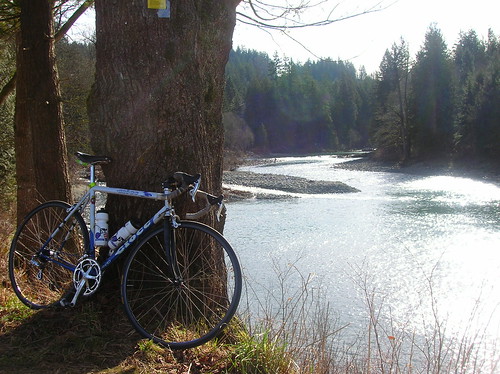
After the climb up to Snoqualmie Falls, I just kept on pedaling as I passed the gift shop with its water and ice-cream. In an effort to save time, I skipped it - and I had plenty of water anyway.
Since I still didn't have a cuesheet, I was mostly patching the ride together from previous expeditions and a loose memorization of the route. After a turn, and a climb, up Tokul Road, I was presented with a great little road, Reinert(?): 
Soon after that I was presented with the foothills we'd been heading towards all day. I used to think it would take a camping trip to bike out this far! 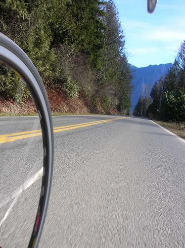
Mount Si: 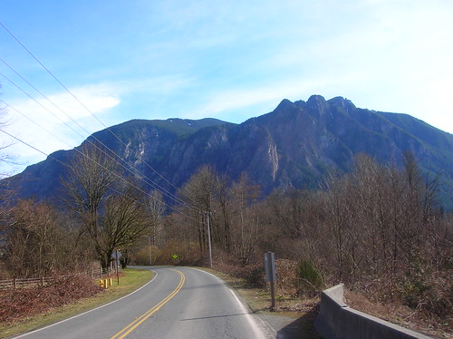 The River: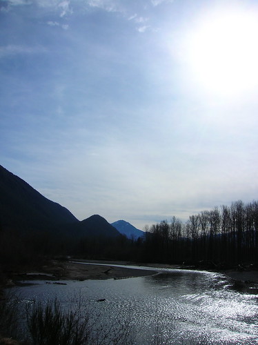
The headwinds were still grueling at this point, about 60 miles into the ride. I eventually latched on to a small group, and we pacelined/slogged (at 15 mph) through "downtown" North Bend, into the winds.
At the turnaround point in the Tanner area, I stopped for a short break and met up with John again. Robert was supposed to show up on the ride, but we never saw him. There was some residual snow out there, just like last year: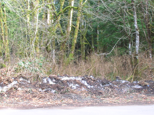
After turning around, we were all looking forward to getting on the open road and enjoying the tailwind we'd been thinking about for the last few hours. And indeed, it was nice! After we passed that hotel we started one of last year's 400ks at, I was cruising at a good 27-30 mph pace! After I took this picture I realized I'd ridden away from the paceline: 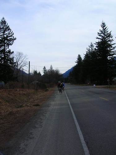
An old structure somewhere on the outskirts of North Bend: 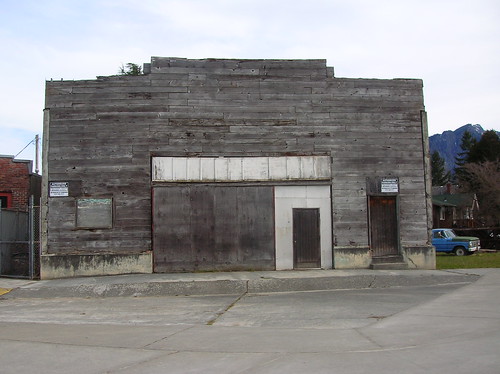
Foothills: 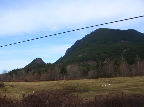
Issaquah-Fall City Road, I think: 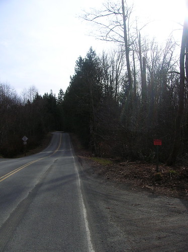
After getting up Issaquah-Fall City road, I was alone and wondering exactly what the route was back to Marymoor. I knew to take a right, and that I needed to get onto E Lake Sammamish Blvd, but I wasn't sure how. I kept looking for Duthie Hill Road but I think I was on it.. After riding a few miles and hitting that big downhill near 202, I turned around and headed back. Saw some riders turning down this one non-descript road, good thing I saw them! It was quite the adventure running around sans-cuesheet.
After that turn my adventures off-route weren't over, as I ended up on 266th (or something), a slightly-hellish road with big hills and even bigger SUVs. I plowed over the hills, knowing Inglewood Drive wasn't too far away, and that it would take me to where I wanted to go.
The 12% grade sign on Inglewood: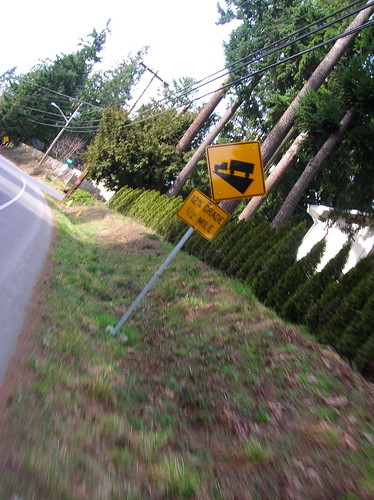 After a screaming descent on Inglewood, I hit E. Lake Sammamish and sped off towards Marymoor. Well, not sped off, since I was really tired at this point. Not "done", but tired.
After about 6 hours of riding and 100 miles covered, I was back in Marymoor. A few minutes of chatting and then I was off for the ride home. I took 40th Ave NE (uphill) towards the MS campus, and then hit Bel-Red road to get to Bellevue. Stopped at Wendy's for some grub, it was time for real food!
Sunset on the way back:
You can see Rainier from Yesler?! Apparently:
Ciocc back in the city, on Yesler: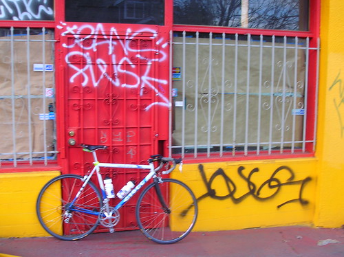
Cityscape:
More photos on flickr. Ride stats for the day:
Entire workout (161 watts):
Duration: 7:31:09 (9:03:59)
Work: 4501 kJ
TSS: 355.1 (intensity factor 0.687)
Norm Power: 199
VI: 1.2
Pw:HR: 14.85%
Pa:HR: -0.64%
Distance: 127.067 mi
Elevation Gain: 11859 ft
Elevation Loss: 11885 ft
Grade: -0.0 % (-27 ft)
Min Max Avg
Power: 0 866 166 watts
Heart Rate: 92 185 149 bpm
Cadence: 15 147 72 rpm
Speed: 0 54.4 16.1 mph
Altitude: 16 834 277 ft
Crank Torque: 0 1752 196 lb-in
From looking at the workout in WKO, the graphs tell the story of falling energy (and therefore power) levels. Splitting the entire ride up into two parts, you can see hte difference between them - this half's Normalized Power is 214 watts.
1st half:
Duration: 4:16:08 (4:29:36)
Work: 2826 kJ
TSS: 232.3 (intensity factor 0.738)
Norm Power: 214
VI: 1.16
Pw:HR: 15.88%
Pa:HR: 5.47%
Distance: 69.852 mi
Elevation Gain: 6691 ft
Elevation Loss: 6394 ft
Grade: 0.1 % (297 ft)
Min Max Avg
Power: 0 866 184 watts
Heart Rate: 94 185 155 bpm
Cadence: 15 120 75 rpm
Speed: 0 54.8 16.5 mph
Pace 1:06 0:00 3:38 min/mi
Altitude: -24 663 221 ft
Crank Torque: 0 1747 210 lb-in
And here's the 2nd half of the ride - Normalized Power is 173 watts.
2nd half:
Duration: 3:13:30 (4:32:52)
Work: 1659 kJ
TSS: 114.9 (intensity factor 0.597)
Norm Power: 173
VI: 1.21
Pw:HR: -7.79%
Pa:HR: 8.87%
Distance: 56.918 mi
Elevation Gain: 5116 ft
Elevation Loss: 5472 ft
Grade: -0.1 % (-355 ft)
Min Max Avg
Power: 0 799 143 watts
Heart Rate: 98 168 141 bpm
Cadence: 15 147 67 rpm
Speed: 0 90.4 15.6 mph
Pace 0:40 0:00 3:50 min/mi
Altitude: 8 834 350 ft
Crank Torque: 0 1752 179 lb-in
Here's a graph of the ride from WKO+:
- red = heart rate
- yellow = power
- orange = elevation
- I also added some estimated markers
 While I already know the story of the ride, the data here tells the details. You can see the downward slope of the red & yellow lines - meaning at some point I hit a wall and had to back off. That's normal for a longer ride, the question is when does it happen, and how hard do you have to push it to get there?
Sunday, November 9, 2008
Seattle-North Bend 200k Permanent - On A Rainy Fall Day
This morning Robert, Chris, and I took off from the Lechi Starbucks at 8 AM, setting off for a 200k permanent that would take us on a circuitous route through Redmond, Carnation, Fall City, North Bend, Newcastle, Maple Valley, Renton, and then back to Seattle. It was another great ride, and it was awesome to ride with a small group, almost Audax-style.
The Leschi-North Bend-Lechi permanent was relatively hilly, sort of like doing the Lake Washington Loop 2.5 times. But maybe a little hillier.. an interesting variation of this route could include Cougar & Tiger Mountains, although the thought of that right now sounds very tiring.

Even though it was raining, the scenery was still great:

100th Ave near Carnation - totally covered in water! We had to ride down to Ames Lake Road(?) to get around it:

Chris shining in the sun:
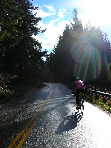
Really cool road near North Bend:

Awesome view heading into North Bend:

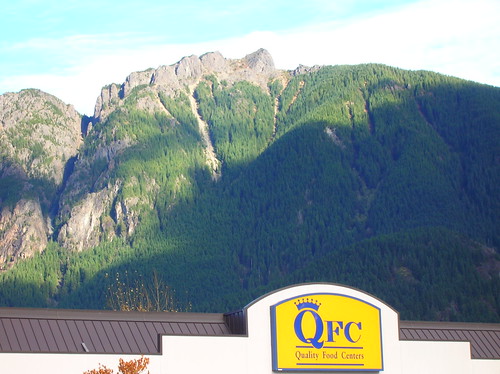
The North Bend QFC, and what I can only assume is Mt Si in the background:
The view on Railroad Ave:
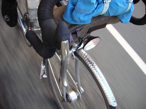
Trying out a new setup - jacket strapped to bars, above handlebar bag. Less weight in the rear makes climbing easier, it seems:
Sunset over Lake Sammamish - at 4:30 PM! Damn fall..

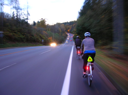
I love the motion conveyed in this shot - this was on Coal Creek Parkway, I think:
the finish at a restaurant in Leschi:

Much thanks to Robert & Chris for inviting me on one of many installments in their R-12 quest. While the brevet season is over, the riding season isn't! As the saying goes, "there's no such thing as bad weather - just bad gear."
Sunday, May 18, 2008
Seattle Rando's May 2008 400k - Three Pass Ride Report
Climbing Snoqualmie, Blewett, and Stevens, plus more in one day was a 249-mile (400km) adventure. The fastest riders did it in 14 or so hours. See previous entries for photos of this route, as well as a route profile & map.
Edit: Robert posted some great pics from the ride on his flickr account - thanks dude!
Saturday, February 16, 2008
Seattle to North Bend & Back Century (Riding with SiR)
Today I attended the sixth of SiR Winter Training Series, a great set of rides so far. It was a great ride, and I got to the start quicker than expected. I rolled out at 7:15 AM to the tune of a light mist, Schmidt E6 lamp blazing (see photo below). Riding with SiR is great because usually no matter how slow or fast you're going, there will be someone else close by. But the first 19 miles or so of this ride were solo, although I more cyclists than expected going across I-90 & Mercer Island. After meeting up with the group in Issaquah, we rolled out at 9 AM sharp. The first section of the route on Hwy 900/E. Lake Sammamish was pleasant, and I settled in with a few folks I've met during these rides. We got to the first climb, Louis Thompson Road, within 15 minutes or so. It's a fun climb, and just about on the edge of the steepness that forces me out of the saddle. Maybe 7-9% grade? It lasts for a 1/2 mile, maybe more. After that it was what I like to call "classic" Northwest back roads for pretty much all the way.
Below you'll find a few of the photos I took along the route, most of them taken while riding. Enjoy! Passing through the Mt. Baker ped/bike tunnel - whenever I ride through here I think about the video cameras in the tunnel - who watches those? Or do the just scan the vids if something happens in the tunnel? (There are three video cameras aimed on peds/cyclists in this tunnel, not visible in this photo)
 The scene looking East across Lake Washington at I-90 - North Bend is somewhere out there..
 The view from Hwy 202, looking towards Carnation.
 My velo at Snoqualmie Falls -it's always wanted to go!
 I think this is Mount Si peaking out from behind the fog near North Bend. I was hoping for a more dramatic view, but oh well.
 A theater in North Bend, on the way back towards Fall City. North Bend is a pretty small town, nestled in the Cascade foothills. I think it's main feature is a cafe that was in "Twin Peaks."
 Heading back to Snoqualmie Falls from North Bend, along Highway 202.
 This little creature was running around out feet & begging for snacks at Snoqualmie Falls - it would even touch your hand if you reached down!
 Heading back towards Issaquah, leaving Fall City, on a aptly-named Issaquah-Fall City Road - some nice climbing ahead (if you like climbs, that is). I ended up taking it pretty easy coming up this part, as I'd done about 75 miles at this point!
 After the official ride was over, heading back towards Seattle through Eastgate. You can see downtown in the distance on the right - that's roughly where I'm headed.
 Now in the Central District, this is downtown Seattle in the distance. Almost back to Capitol Hill! About 98 miles so far.
The scenery was great, and I feel pretty confident about longer rides. The dynohub worked, the newly-built wheel didn't blow up, and I didn't have any major mechanical issues. Although towards the end of the ride my drivetrain was squeaking like a nest of crickets..
Start time: 7:15 A.M.
End time: 3:25 P.M.
Total Distance: about 100 miles (Seattle to Issaquah is about 19 miles, the ride was 62 miles)
Total Distance this year: 1,238 km (769 miles) [log]
Wednesday, February 13, 2008
SiR Winter Training Series #6 - Issaquah/North Bend Loop (Ride Preview)
On Saturday I'll be riding with the Seattle Intl Randonneurs (aka SiR) for the sixth of their Winter Training Series rides. This one is the Issaquah / North Bend Loop, it should be great. 63 miles long, the route will take us through Fall City, Snoqualmie, and North Bend. While I've ridden to Issaquah before, I've yet to go further East than that, so this should be a great ride.
The little green line on this terrain map shows the route we'll be taking:
Starting in Issaquah, and then heading north on E. Lake Sammamish, east on Louis Thompson Rd, then onward... see the map for details. Also, we're gonna pass local landmarks like Snoqualmie Falls & Mt. Si!I'll bring my camera, and (hopefully) get some good pictures like the one above. Except you'll be seeing a bunch of two-wheeled vehicles and reflective gear in the foreground!
 The loop is 63 miles, and it's about 20 miles to get out there from my house (via I-90, Mercer Island, and Newport Way). So when I ride the 20 back from Issaquah, it should be just about 100 miles for the day! I haven't done that kind of distance since the High Pass Challenge last year.
I always like to click out the route on a Google Map prior to doing a new loop, in order to see the "lay of the land." Here's a link to the route on a Google Map: [link] And of course, here's the elevation profile, generated by veloroutes.org (w/ data from the USGS): The first big bump is the Issaquah Plateau, and then the next climb flattens at about Snoqualmie Falls, then goes even higher and peaks at just past North Bend. The half-way point/turnaround is the North Bend/Tanner area, pretty damn far up into the Cascades! This would be a nice back-roads route to attempt a descent from North Bend heading West via I-90, or just to get on the pass without doing I-90 the whole way. Can't wait!
The SiR Winter Training Series is open to anyone, you don't have to be a member to ride with us! Just show up, sign in, get a cue sheet, and roll. But note that there are no regroups, and you need to be self-sufficient with food, water, and mechanical issues. And, you should really, really think about having full fenders if it's wet out! The peloton rolls at 9 AM sharp. See you Saturday!! [ride details]


