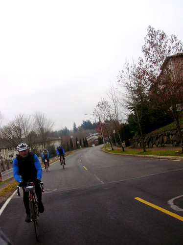
The forecast called for a great day, and it was right - 50-something degrees, and light wind in Seattle. Oh, and the forecast for North Bend said 20 mph winds from the SSE - man was that ever correct..
I left the house at 7:30-ish, headed for Marymoor park where this week's training ride started.
The view east over I-90 and Mercer Island couldn't have been better - I was headed somewhere towards those mountains in the background:

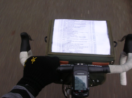
It took a little longer to get up to Marymoor (via W Lake Sammamish), and I got there at about 9:10 - the ride started at 9:00! Oops, my plan of getting a cuesheet at the start was out the window too. Luckily I knew the first parts of the route, and had seen the map. Just needed to get to Novelty Hill road, and I at least knew the general direction to it.
And soon after I started out I saw the group of brightly-colored jackets - lots of them, like 50 or so, telling me these must be the group I'm looking for. I rode through a wooded area, partially unpaved, to get onto the road they were on. I kept my eye on a few stragglers who were also catching up, and just followed their turns.
And by the time we actually got to the Novelty Hill climb, I saw a snaking paceline of at least 50 riders! 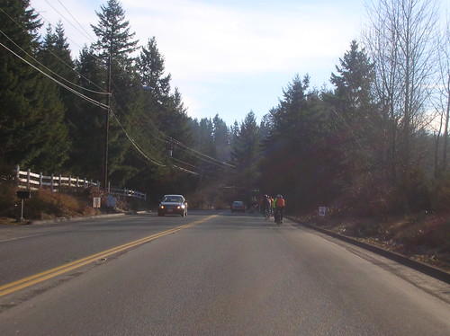
And this is when I made a mistake in the ride - I took off towards the front, passing many other riders. Briefly saw John & a friend of his, and dropped them (temporarily) by accident. For every group I would catch up to, there seemed to be another group about 100m up the road.
After passing what seemed to be most of the ride, I reached the limit of how far "forward" I could get. It looked like the head group in front of us, so I broke off and tried to bridge the gap, only to leave myself in "no man's land" - not fast enough to drop the group I was trying to drop, and not fast enough to actually catch up to the group ahead of me. Battling the wind alone. Not a good tactic on what will be a 100+ mile day.
So after the group behind me swallowed me up again, I settled in with them (at a 22mph pace) and we cruised towards Carnation. After about an hour of this, I had burned one too many "matches", and had to drop out of the paceline. A drop from 22 mph to 18 was just what I needed. I knew I had to pace it, since it was gonna be a decently-long day.
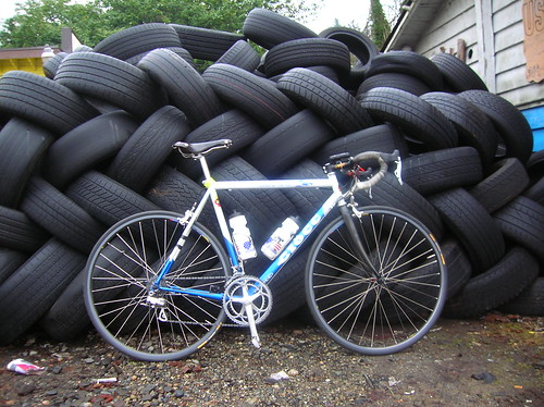
After dropping from the paceline, I was left alone to enjoy the scenery, and take some pictures, like this one of the Ciocc & what I believe is the Snoqualmie River: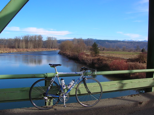
Soon after, a group of riders showed up behind me: 
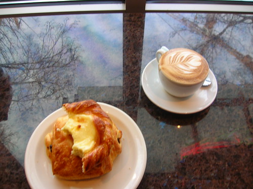
After riding with that group into Carnation, I stopped to get more water and some fuel. I'd brought an Ensure, a banana, and a cookie, but I knew it wasn't enough for the whole day. Was hoping for some fresh doughnuts, but alas all they had were crappy pastries. But those did just fine.
At this point I saw John (along with many others) pass me, and I soon got back on the bike to catch up to someone. It ended up taking a few hours to catch up to anyone, and it was really bad timing for that too: the predicted headwinds in North Bend actually started just south of Carnation. And I was riding right into it.
Not afraid to take a break now and then, I stopped on Fish Hatchery Road for another shot of the great scenery around here: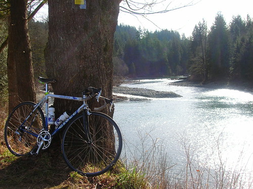
After the climb up to Snoqualmie Falls, I just kept on pedaling as I passed the gift shop with its water and ice-cream. In an effort to save time, I skipped it - and I had plenty of water anyway.
Since I still didn't have a cuesheet, I was mostly patching the ride together from previous expeditions and a loose memorization of the route. After a turn, and a climb, up Tokul Road, I was presented with a great little road, Reinert(?): 
Soon after that I was presented with the foothills we'd been heading towards all day. I used to think it would take a camping trip to bike out this far! 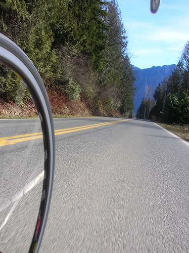
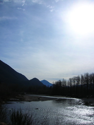
Mount Si: 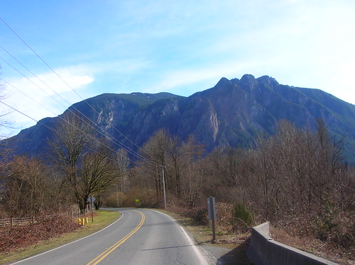 The River:
The headwinds were still grueling at this point, about 60 miles into the ride. I eventually latched on to a small group, and we pacelined/slogged (at 15 mph) through "downtown" North Bend, into the winds.
At the turnaround point in the Tanner area, I stopped for a short break and met up with John again. Robert was supposed to show up on the ride, but we never saw him. There was some residual snow out there, just like last year: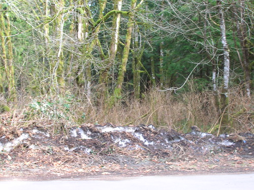
After turning around, we were all looking forward to getting on the open road and enjoying the tailwind we'd been thinking about for the last few hours. And indeed, it was nice! After we passed that hotel we started one of last year's 400ks at, I was cruising at a good 27-30 mph pace! After I took this picture I realized I'd ridden away from the paceline: 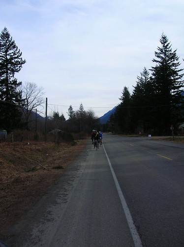
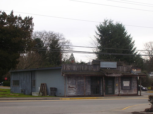
An old structure somewhere on the outskirts of North Bend: 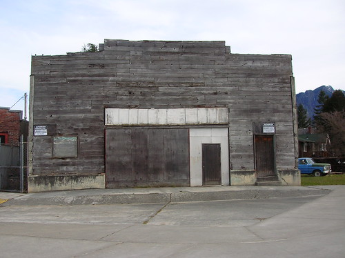
Foothills: 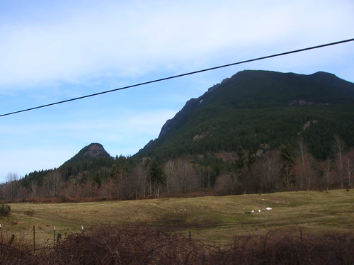
Issaquah-Fall City Road, I think: 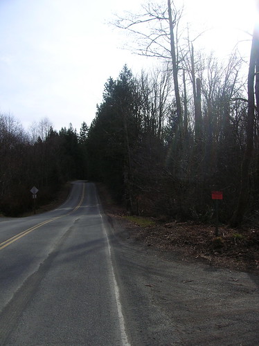
After getting up Issaquah-Fall City road, I was alone and wondering exactly what the route was back to Marymoor. I knew to take a right, and that I needed to get onto E Lake Sammamish Blvd, but I wasn't sure how. I kept looking for Duthie Hill Road but I think I was on it.. After riding a few miles and hitting that big downhill near 202, I turned around and headed back. Saw some riders turning down this one non-descript road, good thing I saw them! It was quite the adventure running around sans-cuesheet.
After that turn my adventures off-route weren't over, as I ended up on 266th (or something), a slightly-hellish road with big hills and even bigger SUVs. I plowed over the hills, knowing Inglewood Drive wasn't too far away, and that it would take me to where I wanted to go.
The 12% grade sign on Inglewood: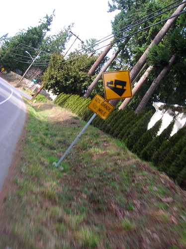 After a screaming descent on Inglewood, I hit E. Lake Sammamish and sped off towards Marymoor. Well, not sped off, since I was really tired at this point. Not "done", but tired.
After about 6 hours of riding and 100 miles covered, I was back in Marymoor. A few minutes of chatting and then I was off for the ride home. I took 40th Ave NE (uphill) towards the MS campus, and then hit Bel-Red road to get to Bellevue. Stopped at Wendy's for some grub, it was time for real food!
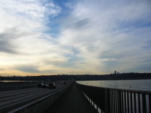
Sunset on the way back:
You can see Rainier from Yesler?! Apparently:

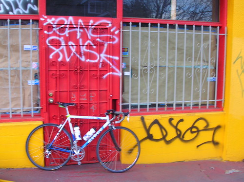
Ciocc back in the city, on Yesler:
Cityscape:

More photos on flickr. Ride stats for the day:
Entire workout (161 watts):
Duration: 7:31:09 (9:03:59)
Work: 4501 kJ
TSS: 355.1 (intensity factor 0.687)
Norm Power: 199
VI: 1.2
Pw:HR: 14.85%
Pa:HR: -0.64%
Distance: 127.067 mi
Elevation Gain: 11859 ft
Elevation Loss: 11885 ft
Grade: -0.0 % (-27 ft)
Min Max Avg
Power: 0 866 166 watts
Heart Rate: 92 185 149 bpm
Cadence: 15 147 72 rpm
Speed: 0 54.4 16.1 mph
Altitude: 16 834 277 ft
Crank Torque: 0 1752 196 lb-in
From looking at the workout in WKO, the graphs tell the story of falling energy (and therefore power) levels. Splitting the entire ride up into two parts, you can see hte difference between them - this half's Normalized Power is 214 watts.
1st half:
Duration: 4:16:08 (4:29:36)
Work: 2826 kJ
TSS: 232.3 (intensity factor 0.738)
Norm Power: 214
VI: 1.16
Pw:HR: 15.88%
Pa:HR: 5.47%
Distance: 69.852 mi
Elevation Gain: 6691 ft
Elevation Loss: 6394 ft
Grade: 0.1 % (297 ft)
Min Max Avg
Power: 0 866 184 watts
Heart Rate: 94 185 155 bpm
Cadence: 15 120 75 rpm
Speed: 0 54.8 16.5 mph
Pace 1:06 0:00 3:38 min/mi
Altitude: -24 663 221 ft
Crank Torque: 0 1747 210 lb-in
And here's the 2nd half of the ride - Normalized Power is 173 watts.
2nd half:
Duration: 3:13:30 (4:32:52)
Work: 1659 kJ
TSS: 114.9 (intensity factor 0.597)
Norm Power: 173
VI: 1.21
Pw:HR: -7.79%
Pa:HR: 8.87%
Distance: 56.918 mi
Elevation Gain: 5116 ft
Elevation Loss: 5472 ft
Grade: -0.1 % (-355 ft)
Min Max Avg
Power: 0 799 143 watts
Heart Rate: 98 168 141 bpm
Cadence: 15 147 67 rpm
Speed: 0 90.4 15.6 mph
Pace 0:40 0:00 3:50 min/mi
Altitude: 8 834 350 ft
Crank Torque: 0 1752 179 lb-in
Here's a graph of the ride from WKO+:
- red = heart rate
- yellow = power
- orange = elevation
- I also added some estimated markers
 While I already know the story of the ride, the data here tells the details. You can see the downward slope of the red & yellow lines - meaning at some point I hit a wall and had to back off. That's normal for a longer ride, the question is when does it happen, and how hard do you have to push it to get there?


